


If you've lived in Yuma long enough, you've felt one of the earth tremors that maybe sloshed water around in your swimming pool or knocked a couple of books off your shelf. And AWC has a way of tracking that "earthshaking" activity.
Look under Online Services on the AWC web page and click on the icon titled "Seismograph"; it will open a page with lines and numbers. If you want to know what it all means, the man to ask is Geology Professor Earl Burnett.
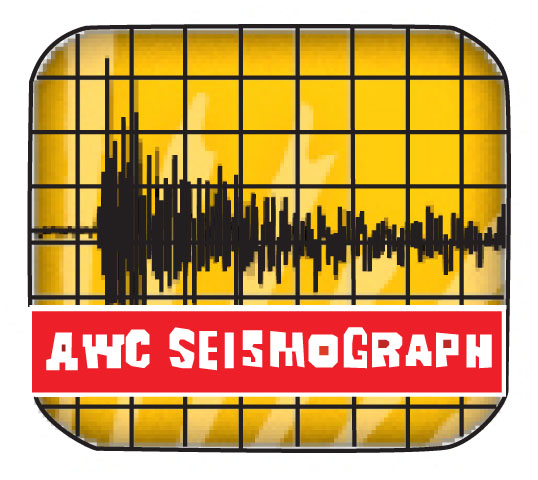
A seismograph measures waves of moving energy from movements within the earth which are recorded in a graph form, Burnett explains. These movements are caused by geological phenomena like plate shifting and subduction. Here at AWC, the seismograph is located in the Agriculture/Science (AS) building.
To read the seismograph recording you start with the left hand column which represents the hours from "00" (midnight) to "23" (11 p.m.). The line across the bottom is in increments of minutes, and each horizontal line equals an hour.
The time is recorded in universal Greenwich Mean Time (GMT). To calculate the time for Yuma you would subtract seven hours from the GMT.
When a tremor is recorded by a seismograph, a vertical (up and down) line appears on the graph. There is usually a group of lines of various lengths clustered together that indicate the strength and length of time of a quake.
A seismograph is capable of recording earth movement around the world. There are sites around the world constantly recording seismic activity. Geologists refer to these other seismographs when determining the epicenter (the origin) of an earthquake.
Burnett sayys that the best web site for additional information on earthquake activity is http://earthquake.usgs.gov/regional/neic which is the National Earthquake Center NEIC in Golden Colorado.
Graphic by Pam Black